 Tanzania
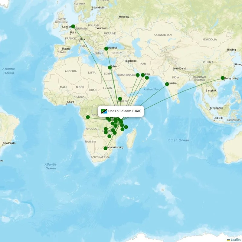
Dar es Salaam, Tanzania
Location
UTC
Timezone
-6.8735 S, 39.2073 E
Coordinates
182 ft (55 m)
Elevation
Loading flights...
What is Julius Nyerere International Airport?
Julius Nyerere International Airport (DAR/HTDA) is Large Airport serving Dar es Salaam in Tanzania. Located at coordinates 6.8735 S, 39.2073 E, the airport sits at an elevation of 182 feet (55 meters) above sea level. Operating in the UTC timezone, the airport offers scheduled commercial flights to various destinations.
Current Weather

Local Time
Wednesday, June 3, 2026
Timezone Information
Where is Julius Nyerere International Airport on Map?
View the exact location of Julius Nyerere International Airport on the interactive map below.
Geographic Information
Tanzania (TZ) Location Map

Runways at Julius Nyerere International Airport
Julius Nyerere International Airport has 4 runway(s). Below you can find detailed information about each runway including dimensions and surface type.
Terminals at Julius Nyerere International Airport
Julius Nyerere International Airport has 2 terminal(s). Below you can find the list of terminals and buildings at this airport.
Radio Frequencies at Julius Nyerere International Airport
Communication frequencies for pilots and aviation personnel at Julius Nyerere International Airport. These frequencies are used for air traffic control, ground operations, and airport information services.
| Type | Frequency | Description |
|---|---|---|
| ACC | 119.300 MHz | CON |
| APP | 119.600 MHz | APP |
| TWR | 118.300 MHz | TWR |

About Julius Nyerere International Airport
Julius Nyerere International Airport is the international airport of Dar es Salaam, the largest city in Tanzania. It is located in Kipawa ward of Ilala District in Dar es Salaam Region of Tanzania. The airport has flights to destinations in Africa, Asia, Europe, and the Middle East. It is named after Julius Nyerere (1922–1999), the nation's first president.
Read more on WikipediaAirport Analysis for Julius Nyerere International Airport
Distance to Major Cities
Flight distances and estimated travel times from Julius Nyerere International Airport to major world cities.
Nearby Cities to Julius Nyerere International Airport
Explore cities in Tanzania that are easily accessible from Julius Nyerere International Airport. Discover nearby destinations with estimated driving distances and times.
Closest States to Julius Nyerere International Airport
Explore nearby states in Tanzania accessible from Julius Nyerere International Airport. Plan your regional travel with distance information.
Reviews & Ratings
Share your experience at Julius Nyerere International Airport
No reviews yet. Be the first to review this airport!