 Australia
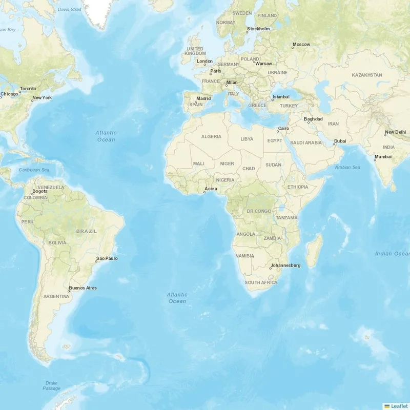
Chinchilla, Australia
Location
UTC
Timezone
-26.7719 S, 150.6176 E
Coordinates
1,028 ft (313 m)
Elevation
Loading flights...
What is Chinchilla Airport?
Chinchilla Airport (CCL/YCCA) is Medium Airport serving Chinchilla in Australia. Located at coordinates 26.7719 S, 150.6176 E, the airport sits at an elevation of 1,028 feet (313 meters) above sea level. Operating in the UTC timezone, the airport primarily serves general aviation and charter flights.
Current Weather

Local Time
Tuesday, June 2, 2026
Timezone Information
Where is Chinchilla Airport on Map?
View the exact location of Chinchilla Airport on the interactive map below.
Geographic Information
Australia (AU) Location Map

Runways at Chinchilla Airport
Chinchilla Airport has 4 runway(s). Below you can find detailed information about each runway including dimensions and surface type.
Radio Frequencies at Chinchilla Airport
Communication frequencies for pilots and aviation personnel at Chinchilla Airport. These frequencies are used for air traffic control, ground operations, and airport information services.
| Type | Frequency | Description |
|---|---|---|
| CTAF | 126.700 MHz | CTAF |
| FSS | 123.900 MHz | BRISBANE CNTR |
About Chinchilla Airport
Chinchilla Airport is an airport serving Chinchilla, Queensland, Australia.
Read more on WikipediaAirport Analysis for Chinchilla Airport
Nearby Airports to Chinchilla Airport
Explore other airports located within a 300km radius of Chinchilla Airport. This can help you find alternative travel options or nearby facilities.
Distance to Major Cities
Flight distances and estimated travel times from Chinchilla Airport to major world cities.
Nearby Cities to Chinchilla Airport
Explore cities in Australia that are easily accessible from Chinchilla Airport. Discover nearby destinations with estimated driving distances and times.
Closest States to Chinchilla Airport
Explore nearby states in Australia accessible from Chinchilla Airport. Plan your regional travel with distance information.
Reviews & Ratings
Share your experience at Chinchilla Airport
No reviews yet. Be the first to review this airport!